


Spatial Analysis for Forest Assessment by Remote Imaging
What is your project about?
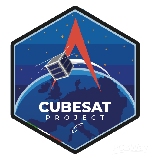
SAFARI (Spatial Analysis for Forest Assessment by Remote Imaging) is a student-led research project focused on developing CubeSat prototypes for forest health monitoring and wildfire risk assessment.
Why did you decide to make it?
Wildfires are increasingly frequent and destructive. SAFARI aims to develop innovative, student-led solutions to help map forest conditions and anticipate fire risks using satellite technology.
How does it work?
We have built our first CubeSat prototype and are preparing for our next one. Our systems include on-board electronics (PCBs) and flatsat setups for testing payload and satellite functionality before any actual orbital deployment. The data collected will eventually help train AI models to assess forest health and predict wildfire risks.
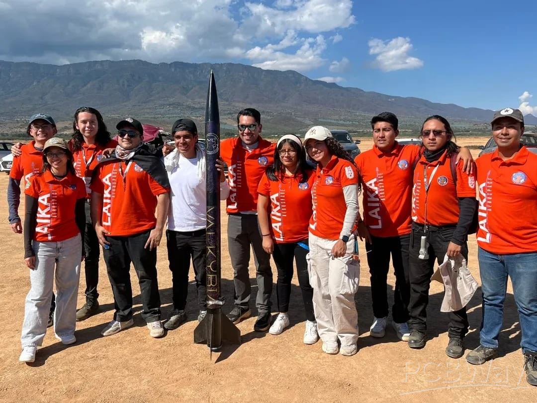
Show us with images and videos!
Why we need your support:
We are seeking sponsorship from PCBWay to produce high-quality PCBs and flatsat components for our next prototype, helping our student team develop and test SAFARI efficiently.
Apply for sponsorship >>- Comments(0)
- Likes(0)